Oil and Gas Experience unparalleled efficiency and safety in the oil and gas sector with Dronevation’s drone services. We leverage advanced drone technology to enhance safety and efficiency in oil and gas plant inspections. Our drones provide high-resolution aerial imagery and real-time data collection, allowing for comprehensive assessments of infrastructure without the need for manual inspections.
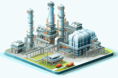
Flare Stack Inspection: Quick, detailed inspections of active flare stacks without costly shutdowns, capturing close-up views of flare tips, atomizer pitting, and more.
Storage Tank Inspection: Comprehensive inspections using visual, thermal, and ultrasonic technologies, as well as 3D laser scanning for deformation assessment.
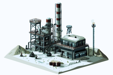
Pressure Vessels, Columns, and Dehydrators: Fast, safe access to confined spaces with UAVs equipped with advanced sensors and dustproof floodlights.
Pipeline Surveying and Inspection: Large area coverage with high-resolution orthomosaics and GIS-enabled software for detailed monitoring and maintenance guidance.
3D Modeling and Reconstruction: High-fidelity digital twins for plant change monitoring and asset management.
Confined Space Inspection: Safe, remote inspections in hazardous environments using specialized UAVs.
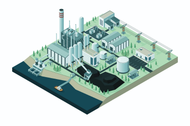
Optical Gas Imaging (OGI): Quick, cost-effective visualization of gas leaks with high-sensitivity OGI sensors.
Thermal Inspection: Plant-wide coverage with thermal imaging cameras for detailed asset condition insights.
Transform your agricultural practices with Dronevation’s precision agriculture solutions, designed to enhance crop management and boost yields. Our advanced drone technology enables farmers to optimize operations, leading to improved productivity and sustainability.
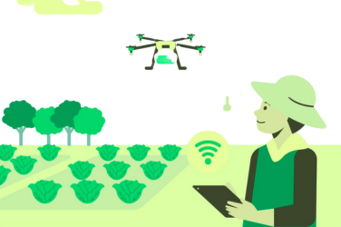
Precise Data Collection: Multispectral and thermal sensors for targeted interventions.
Cost Savings: Reduced labor and ground-based scouting costs.
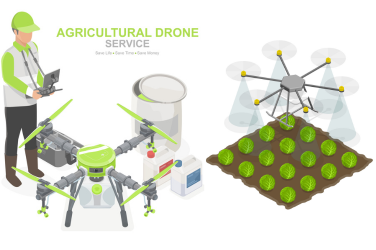
Enhanced Safety: Remote inspections minimize hazardous fieldwork.
Sustainable Practices: Optimized resource use for eco-friendly farming.
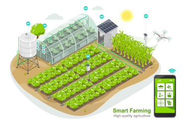
Real-Time Insights: Immediate data and analytics for swift response to issues.
Autonomous Operations: Efficient spraying and seeding, reducing time and labor.
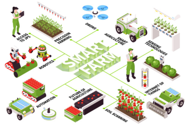
Yield Studies: Comprehensive analysis of crop performance for informed planning.
Crop Monitoring: Continuous surveillance to detect and address issues promptly.
Achieve precision and efficiency in infrastructure management with Dronevation’s advanced drone solutions.
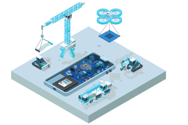
Rapid Data Collection: Swift coverage of vast areas for comprehensive data collection.
High-Resolution Mapping: Detailed topographical maps with advanced sensors and cameras.

Accessibility: Easy access to rugged terrains and remote locations.
Safety: Enhanced safety by eliminating hazardous manual surveying.
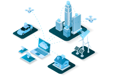
Cost Efficiency: Significant savings with reduced labor and faster data collection.
Real-Time Data: Immediate analysis and decision-making capabilities.
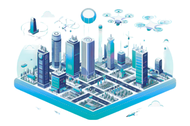
Structural Integrity: Detailed inspections for proactive maintenance.
Preventive Maintenance: Identify potential issues early to prevent costly repairs.
Protect and manage natural resources with Dronevation’s drone technology for environmental monitoring and conservation.

Rapid Ecosystem Monitoring: Quick surveys of large natural areas for comprehensive environmental assessments.
High-Resolution Imaging: Detailed imagery for precise environmental impact analysis.
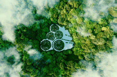
Accessibility: Easy access to remote and rugged locations.
Safety: Remote monitoring minimizes risk of personnel life.
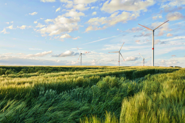
Real-Time Data: Immediate insights for timely environmental interventions.
Sustainable Practices: Optimized resource use for conservation efforts.
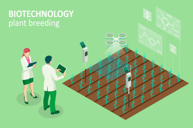
Early Detection: Rapid identification of potential fire outbreaks using thermal imaging technology.
Smoke Detection: Identify smoke plumes from a distance to initiate quick response measures.
Elevate your creative projects with Dronevation’s high-quality aerial cinematography services for stunning visuals. Take your visual storytelling to new heights with Dronevation’s high-quality aerial cinematography services. Our advanced drone technology delivers stunning visuals that captivate and inspire, providing filmmakers, advertisers, and content creators with the tools they need to achieve extraordinary results.

High-Quality Footage: Capture breathtaking aerial shots with advanced camera technology.
Dynamic Perspectives: Achieve unique angles and perspectives for your projects.

Enhanced Safety: Remote operations ensure safety in challenging environments.
Cost Efficiency: Reduced need for expensive cranes and helicopters.

Comprehensive Coverage: Access to hard-to-reach locations for the perfect shot.
Real-Time Monitoring: Immediate feedback for precise shot adjustments.

Creative Freedom: Unleash your creativity with versatile drone capabilities.
Timelapse and Hyperlapse: Create stunning timelapse and hyperlapse sequences with aerial views that highlight the passage of time from a unique perspective.
Elevate Your Real Estate Marketing and Property Management with Dronevation’s Drone Services. Enhance your real estate marketing and property management with Dronevation’s innovative drone services. Our advanced technology provides stunning visuals and detailed inspections, helping you showcase properties and maintain them more efficiently.
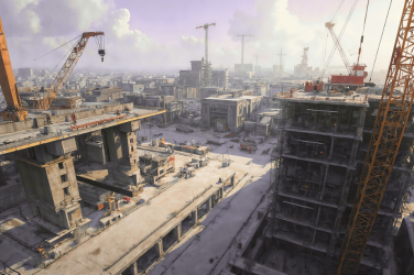
Aerial Photography: Capture breathtaking aerial views for property listings.
Virtual Tours: Create immersive virtual tours with high-quality footage.
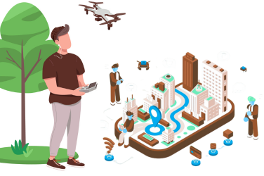
Roof Inspections: Detailed inspections for maintenance without climbing.
Land Surveying: Accurate surveys for property boundaries and planning.
Marketing Videos: High-impact promotional videos for marketing campaigns.
Cost Savings: Efficient inspections reducing the need for manual labor.
Client Engagement: Engage potential buyers with dynamic visual content.
Construction Progress: Monitor and document construction with regular aerial updates, offering clear and comprehensive site views.
Improve the efficiency and safety of your network infrastructure management with Dronevation’s advanced drone solutions, specifically tailored for the telecommunications industry. Our innovative technology ensures rapid and precise assessments, enabling better decision-making and cost savings.
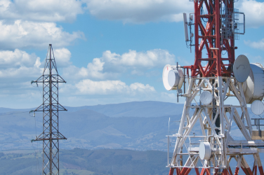
Tower Inspections: Rapid and detailed inspections of telecom towers.
Site Surveys: Quick surveys for new site planning and infrastructure upgrades.
Antenna Alignment: Precise alignment of antennas for optimal performance.
Safety Enhancements: Remote inspections reduce risk to personnel.

Cost Efficiency: Reduced need for cranes and manual labor.
Real-Time Data: Immediate data collection for swift decision-making.
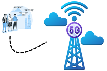
Maintenance Planning: Detailed assessments for proactive maintenance.
Environmental Impact Assessment: Evaluate and monitor the environmental impact of telecom installations.
Harness the power of advanced drone technology with Dronevation’s comprehensive solutions for the energy and power sector. Enhance safety, efficiency, and precision in your operations.
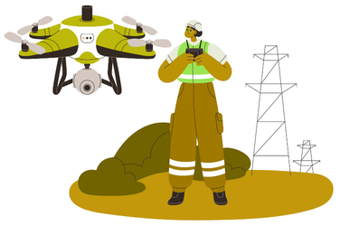
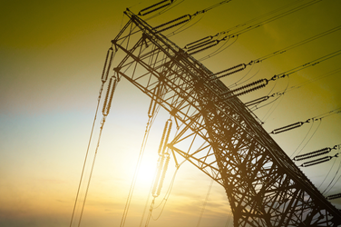
Power Line Inspections: Conduct rapid and detailed inspections of power lines, identifying potential issues before they become critical, all while reducing downtime and maintenance costs.
Solar Panel Monitoring: Efficiently monitor large solar farms, detect faults, and ensure optimal performance with high-resolution imagery and thermal sensors.
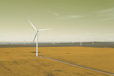
Wind Turbine Inspections: Safely inspect wind turbines, including hard-to-reach blades and nacelles, without the need for expensive cranes or risking personnel.
Substation Inspections: Perform comprehensive inspections of electrical substations, capturing data on critical components and infrastructure to enhance reliability and safety.
Pipeline Monitoring: Ensure the integrity of pipelines with precise aerial surveys that detect leaks, erosion, and other potential issues.
Thermal Imaging: Use advanced thermal imaging to identify hotspots and inefficiencies in energy infrastructure, allowing for timely maintenance and repairs.

At Dronevation, we offer top-tier drone solutions that set industry benchmarks.Our advanced technology and commitment to precision ensure accurate inspections and surveys.
Copyright © 2025 Dronevation. All rights reserved.