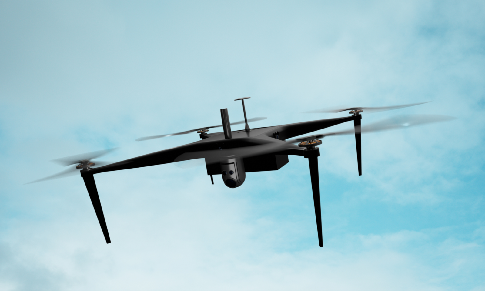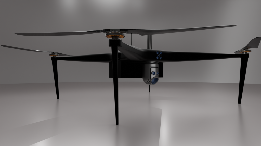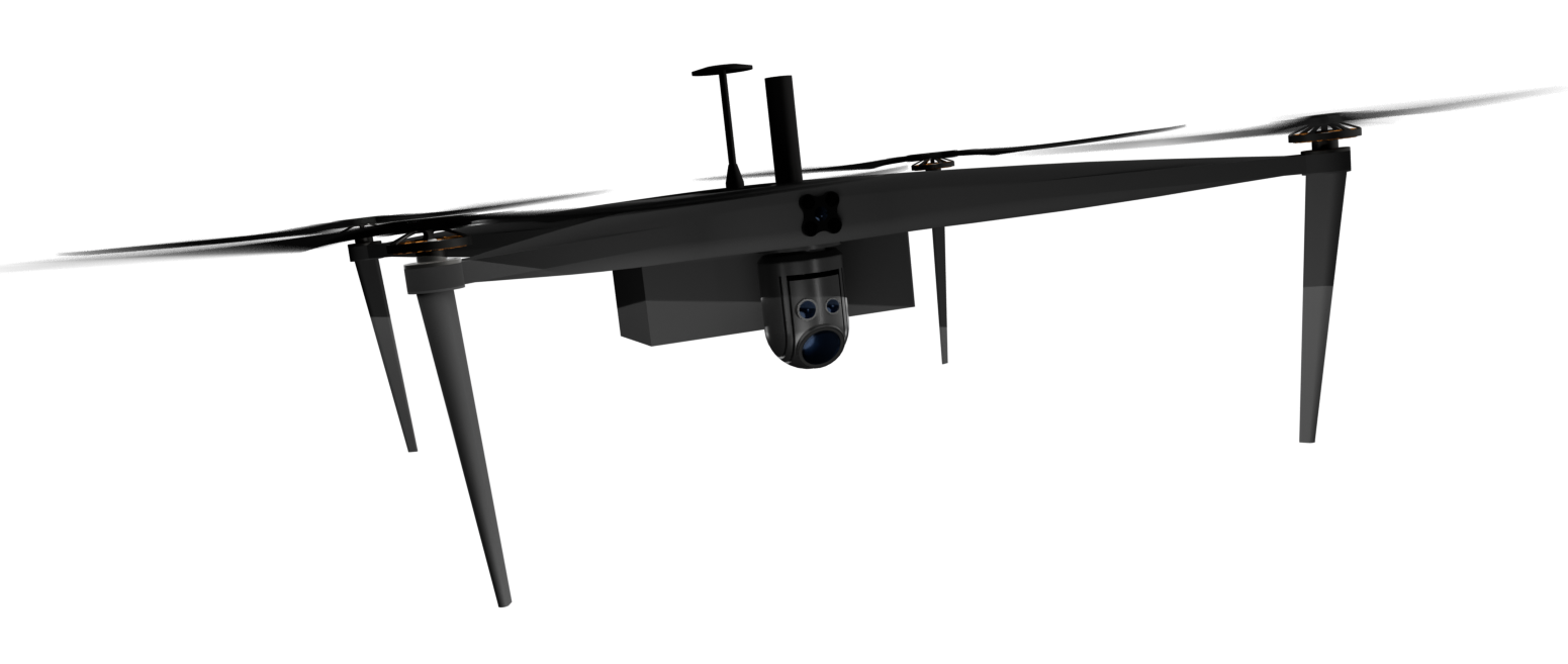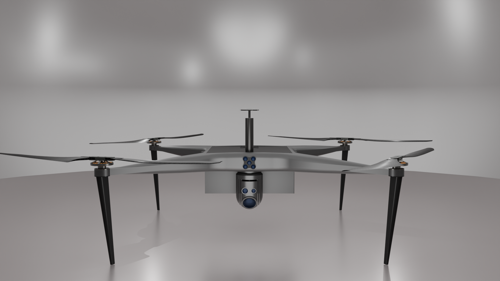
Micro Ranger is an advanced UAV designed specifically for precise survey mapping. Its lightweight yet durable construction enables superior aerial surveys across diverse terrains. With advanced GPS and inertial navigation systems, it achieves centimeter-level accuracy and operates autonomously for efficient mission execution. The UAV’s versatility is demonstrated by its compatibility with various payloads, including RGB cameras and multispectral sensors, facilitating comprehensive data collection. Engineered with robust motors and stabilization systems, Micro Ranger ensures reliable operation in challenging environments and incorporates failsafe features for mission safety.


Micro Ranger is an advanced UAV designed specifically for precise survey mapping. Its lightweight yet durable construction enables superior aerial surveys across diverse terrains. With advanced GPS and inertial navigation systems, it achieves centimeter-level accuracy and operates autonomously for efficient mission execution. The UAV’s versatility is demonstrated by its compatibility with various payloads, including RGB cameras and multispectral sensors, facilitating comprehensive data collection. Engineered with robust motors and stabilization systems, Micro Ranger ensures reliable operation in challenging environments and incorporates failsafe features for mission safety.
For inquiries, partnerships, or more information about the Micro Ranger, reach out to us today!
Find out how Micro-Ranger can be customized to enhance your aerial operations and address your specific requirements.
Witness Micro-Ranger’s capabilities in action with a personalized demonstration designed to showcase its full potential.
Get expert advice and detailed information on how Micro-Ranger can be seamlessly integrated into your operations.

At Dronevation, we offer top-tier drone solutions that set industry benchmarks.Our advanced technology and commitment to precision ensure accurate inspections and surveys.
Copyright © 2025 Dronevation. All rights reserved.